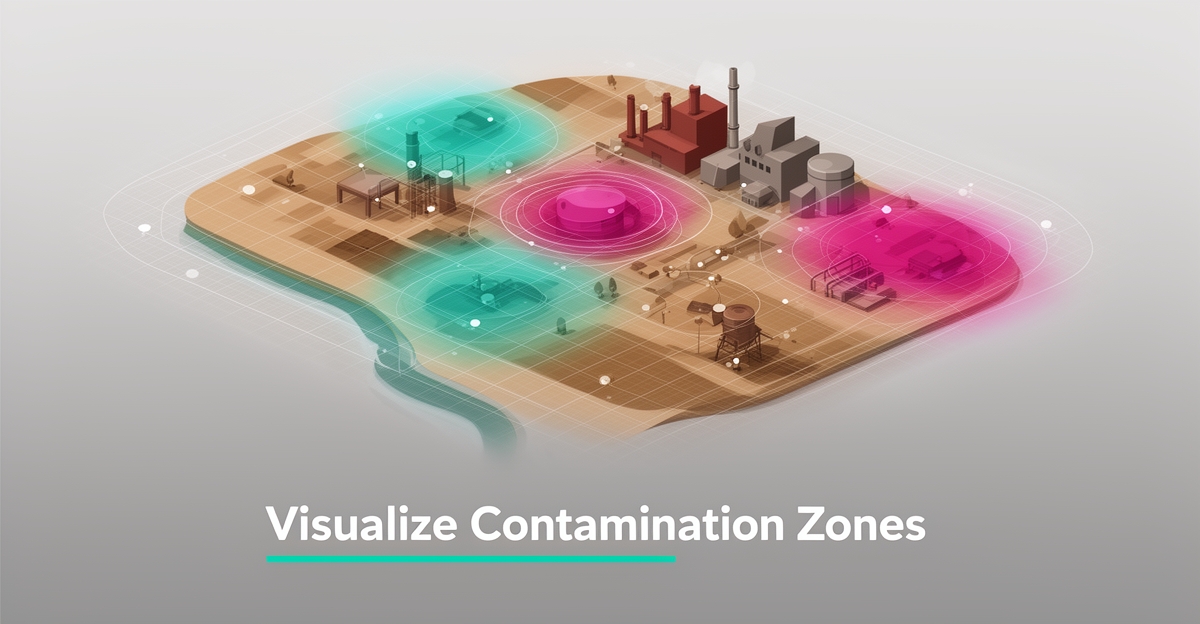
AI-Powered Risk Mapping: How Remediation Contractors Can Visualize Contamination Zones
Key Facts
- AI risk mapping fuses lab results, historical records and satellite imagery into one dynamic visualization
- Risk maps rank contamination zones by severity, so crews target the highest-risk areas first
- Prioritized interventions typically reduce unnecessary sampling rounds and over-excavation
- Clearer zone boundaries help keep field teams out of the most hazardous areas
- Dynamic maps give clients and regulators a visual they can actually interpret, shortening approval cycles
- Data quality, model bias and regulatory compliance need active management from day one
Hire a team member that works 24/7 — for less than a part-time wage.
AI receptionists, SDRs, dispatchers and 99+ roles. Trained on your business, fully managed.
Not sure where to start? Ask our AI planner
Why Traditional Contamination Mapping Fails Remediation Teams
Remediation teams still lose weeks to manual mapping that can’t keep up with the complexity of real sites. Paper logs, spot sampling, and hand-drawn overlays leave contamination zones fuzzy, decisions slow, and budgets exposed.
Traditional risk mapping is time-consuming and limited in accuracy, which forces contractors into slow site assessments, costly guesswork, and difficulty defending decisions to clients and regulators. The approach is simple and low-cost on paper, but limited accuracy and slow execution create downstream risk. That gap shows up as budget overruns, safety exposure, and lost bids when proposals can’t demonstrate clear, defensible prioritization.
Teams rely on fragmented field notes and historical records that rarely align with current conditions. Without integration, contamination boundaries shift between reports, and intervention plans are built on incomplete pictures. Every redrawn boundary is a new argument with a client or a regulator.
The stakes compound on active remediation sites. Delayed assessments extend mobilization and labor costs, while ambiguous zones increase exposure for crews and neighbors. When regulators ask for justification, contractors struggle to produce consistent, auditable maps. Meanwhile, AI adoption across risk-heavy industries keeps accelerating, and clients increasingly expect data-driven justification in proposals.
Traditional workflows typically create three persistent problems:
- Manual data consolidation from field sheets, labs, and historical records slows assessments
- Spot sampling misses plume edges, leading to under- or over-remediation
- Static maps are hard to update, making it difficult to communicate changing risks to clients and regulators
Contractors also face pressure as adjacent functions modernize. Predictive maintenance, logistics, and scheduling have all absorbed AI tooling in recent years, and firms that lag behind feel it in bid competitiveness and margin. Remediation remains constrained when mapping stays manual.
AI data enrichment changes the equation by processing field data, historical records, and satellite imagery to generate risk maps of contamination zones. AIQ Labs builds data-rich visualization systems that empower remediation teams to prioritize interventions and communicate risks clearly. That capability reduces guesswork and supports faster, defensible decisions without replacing field expertise. For teams that want a managed way in, [AI Employees](/ai-employees) can handle the intake, records digitization, and reporting that feed the map—typically at a fraction of the cost of adding headcount.
How AI Builds Contamination Risk Maps from Field Data, Records, and Imagery
A contamination zone isn't a single point on a map—it's a shifting boundary shaped by lab results, decades of site history, and environmental conditions visible from above. Turning those scattered inputs into a clear, actionable picture is exactly where AI-powered risk mapping has changed the game for remediation contractors.
The core of the solution is data fusion. AI systems ingest laboratory results from soil and groundwater sampling, digitize and interpret historical site records, and layer in satellite imagery to detect patterns no single dataset could reveal on its own. The output is a dynamic contamination zone visualization—one that updates as new field data arrives rather than sitting frozen in a static report.
This isn't experimental technology anymore. As of late 2026, AI-assisted risk analysis is standard practice across industries that manage environmental and operational risk, and the same data-fusion techniques translate directly to contamination assessment and site monitoring.
For remediation teams, the practical payoff comes in three forms:
- Improved decision-making — risk maps rank contamination zones by severity, so crews target the highest-risk areas first instead of spreading resources thin.
- Reduced costs — prioritized interventions typically mean fewer unnecessary sampling rounds and less over-excavation.
- Enhanced safety — clearer zone boundaries keep field teams out of the most hazardous areas.
Communication improves alongside operations. A dynamic risk map gives clients and regulators a visual they can actually interpret, replacing dense tables of analytical results with a shared picture of where the risk sits and how it changes. That clarity shortens approval cycles and reduces disputes over scope.
The technology works best when paired with honest expectations. Data quality issues, model bias, and regulatory compliance all need active management. Contractors who build governance into their mapping workflows from day one avoid those pitfalls.
Compared to traditional risk mapping—which is simple and low-cost but limited in accuracy and time-consuming—AI-powered approaches fuse far more data in far less time. That trade-off is why adoption keeps accelerating.
This is where data enrichment and augmentation matter most: the value of a risk map depends entirely on the quality and breadth of the data feeding it. Teams building these systems focus on connecting lab feeds, records archives, and imagery sources into one pipeline so the visualization stays current and defensible. AIQ Labs has deployed 200+ multi-agent systems and runs four live SaaS products daily, so this integration work is proven in production, not theory.
The result is a living map: one that identifies the contamination zone, ranks intervention priorities, and communicates risk to every stakeholder—then keeps doing it as conditions change.
From Risk Map to Remediation Plan: Prioritizing Interventions and Communicating with Regulators
AI-generated risk maps transform raw data into actionable insights that guide remediation decisions from assessment to action. Contractors begin by identifying contamination zones using AI analysis of field data, historical records, and satellite imagery, which reveals patterns invisible to traditional methods. Once zones are mapped, teams prioritize interventions based on severity, exposure pathways, and regulatory thresholds—ensuring resources target the highest-risk areas first. This sequencing turns complex environmental data into a clear operational roadmap.
Communicating these findings effectively requires translating technical risk assessments into accessible visuals for clients and regulators. AI-powered tools generate layered maps that highlight contamination boundaries, migration pathways, and remediation progress, making it easier to justify intervention plans and demonstrate compliance. Clear visualization builds trust, reduces misunderstandings, and supports faster approvals by showing exactly where and why action is needed.
Monitoring completes the cycle, with AI systems updating risk maps as new data arrives from remediation efforts or environmental changes. Continuous refinement ensures interventions remain effective and adaptive, reducing long-term liability and improving outcomes. For remediation contractors seeking to operationalize this workflow, AIQ Labs offers [Workflow Builds](/workflow-builds)—a fixed-price, phased engagement that rebuilds the one workflow costing you the most, such as turning disparate site inputs into cohesive, decision-ready risk visualizations. For firms ready to connect mapping with scheduling, reporting, and client communication across the whole operation, [AI Operating Systems](/ai-operating-systems) provide one connected layer you own outright.
Implementing AI Risk Mapping Without the Pitfalls: Data Quality, Bias, and Compliance
Implementing AI risk mapping requires confronting real-world hurdles like data quality, model bias, and regulatory compliance—challenges that can undermine even the most sophisticated systems. Data quality issues, such as inconsistent field records or outdated satellite imagery, can distort risk assessments, making validation layers essential for verifying inputs before processing. Model bias, often stemming from unrepresentative training data, may skew contamination zone predictions, necessitating regular audits and diverse dataset curation to ensure fairness and accuracy. Regulatory compliance adds another layer of complexity, particularly in remediation where reporting standards vary by jurisdiction; robust audit trails and documentation become non-negotiable for demonstrating due diligence to regulators and clients.
Mitigating these risks starts with a phased implementation approach—beginning with a single workflow, such as integrating historical spill reports with current sensor data, allows teams to refine validation protocols and human-in-the-loop controls before scaling. AIQ Labs supports this progression with phased builds that embed governance frameworks from the outset, including configurable escalation paths when AI confidence falls below thresholds. Flexible payment models—start monthly, build in milestones, or own it outright—mean you can prove value on one workflow before committing to a full rollout. This methodical rollout ensures that as the system expands to full-site mapping, each iteration incorporates lessons from prior phases, reducing rework and building organizational trust. By anchoring AI in verifiable data, transparent processes, and adaptive oversight, remediation contractors transform risk mapping from a technical exercise into a reliable decision-making asset that aligns with both operational needs and regulatory expectations.
Still paying for 10+ subscriptions that don’t talk to each other?
We build custom AI systems you own outright. No vendor lock-in. Full control.
Not sure where to start? Ask our AI planner
Frequently Asked Questions
Why is traditional contamination mapping falling short for remediation contractors?
How does AI actually build a contamination risk map from field data?
What practical benefits do contractors see with AI-powered risk mapping?
Is AI for risk mapping already mainstream in remediation?
What are the biggest risks when implementing AI risk mapping?
How can we communicate AI-generated maps to regulators and clients?
From Contamination Clarity to Competitive Edge
AI-powered risk mapping transforms how remediation contractors see and act on contamination zones—turning fragmented data into dynamic visuals that guide smarter, faster decisions. By fusing lab results, historical records, and satellite imagery, teams gain sharper boundaries, clearer priorities, and stronger justification for interventions, reducing guesswork, unnecessary costs, and safety risks. The shift toward data-driven remediation is no longer emerging—it’s expected. For contractors ready to move beyond static maps and manual workflows, the next step is identifying where AI can deliver the clearest operational win. Start with the free 2-minute [Fit Check](/apply), then book a free 30-minute strategy call to explore how AIQ Labs can build a custom risk mapping system that turns site complexity into actionable insight—without replacing your team’s expertise.
Make AI your competitive advantage — not just another tool.
Strategy, implementation and ongoing optimization. One partner, end to end.
Not sure where to start? Ask our AI planner