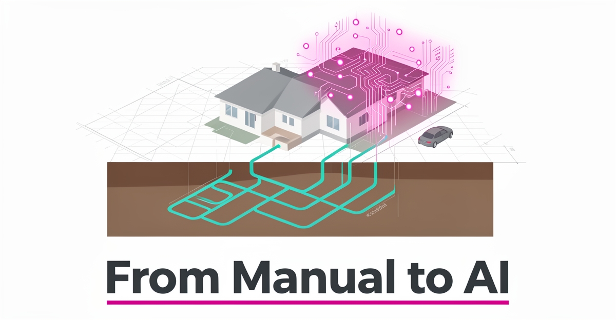
From Manual to AI: How Geothermal Installers Can Automate Site Assessment & Planning
Key Facts
- Geothermal heat pumps typically last 20+ years with maintenance vs. 10-15 years for traditional AC according to Premier Indoor Comfort Systems
- Underground geothermal loop systems typically last 25-50 years, far exceeding conventional HVAC lifespans per Premier Indoor Comfort Systems
- Borehole active length is typically 4-6 feet less than total depth due to U-bend configuration per geothermal glossary standards
- GHX systems are typically designed to operate between 32°F minimum and 90°F maximum fluid temperature per industry design standards
- Summer design temperatures are typically exceeded only 0.4% or 1.0% of the time in geothermal systems per ASHRAE exceedance values
- NY-GEO was founded in 2014 as a not-for-profit trade association representing New York's geothermal industry per NY-GEO LinkedIn
- The Awesome-Geospatial repository has thousands of stars, confirming rich open-source tool availability per GitHub community metrics
Hire a team member that works 24/7 — for less than a part-time wage.
AI receptionists, SDRs, dispatchers and 99+ roles. Trained on your business, fully managed.
Not sure where to start? Ask our AI planner
The Hidden Costs of Manual Geothermal Site Assessment
Manual site assessment for geothermal installs still relies on technicians driving to properties, reading blueprints by hand, and interpreting soil reports from different sources. That process creates friction at every step and directly impacts how quickly installers can quote and close.
Time-to-quote stretches from weeks to months when data must be collected, interpreted, and consolidated manually. Industry service data shows geothermal heat pumps typically last 20 years or longer with regular maintenance, and underground loop systems can last 25 to 50 years, yet the planning phase that protects that longevity remains slow and inconsistent. Traditional air conditioners typically last 10-15 years, underscoring why accurate upfront design matters for geothermal.
Human variability drives risk. One technician may estimate borehole depth differently than another because active borehole length is typically 4 to 6 feet less than total borehole length from the surface, accounting for the U-bend configuration below the header trench. Technical definitions also note GHX systems are designed to operate at a minimum fluid temperature of about 32°F and a maximum fluid temperature of 90°F, with summer design temperatures exceeded only 0.4% or 1.0% of the time. Missed details here create costly rework.
Scalability limits are structural. Manual interpretation does not scale with demand, and consistency varies by technician experience. The New York Geothermal Energy Organization, founded in 2014 as a not-for-profit trade association, represents the geothermal heat pump industry in New York State. NY-GEO's workforce development work highlights how knowledge sharing is needed precisely because manual processes depend on individual expertise.
Hidden costs show up as:
- Delayed quotes that lose projects to faster competitors
- Human error in data interpretation leading to oversized or undersized loops
- Rework and compliance risk from inconsistent application of design parameters
- Limited capacity to assess more sites without adding headcount
These inefficiencies create a clear case for automation. A focused [AI Workflow Build](/workflow-builds) can analyze property blueprints, soil data, and climate zones to generate site-specific geothermal design plans. AIQ Labs builds custom AI systems that process field data and deliver actionable, compliant recommendations, reducing time-to-quote and minimizing costly human errors.
How AI Leverages Geospatial Data for Automated Site Planning
The geothermal industry sits on a wealth of spatial data that most installers still process by hand, property boundaries, soil thermal conductivity, climate zone histories, and borehole logs scattered across PDFs, spreadsheets, and paper files. AI changes that equation by turning those fragmented inputs into a single, queryable foundation for every design decision.
Open-source geospatial engines make this possible without proprietary lock-in. PostGIS extends PostgreSQL with full spatial indexing, while GeoPackage delivers an SQLite-based format that travels easily between field tablets and office servers. Both handle the coordinate geometry, topology checks, and raster overlays that automated site planning demands. A community-curated catalog with thousands of stars confirms the depth of available analysis modules, from LiDAR point-cloud processing to 3-D subsurface modeling.
- Property blueprints ingested as vector layers for automated loop-field layout
- Soil thermal-conductivity rasters joined to borehole coordinates
- Climate-zone design temperatures mapped to ASHRAE 0.4% / 99.6% exceedance values
- Borehole-length rules applied, active U-bend length typically 4 to 6 feet less than total depth
- Fluid-temperature bounds enforced, 32°F minimum to 90°F maximum per GHX design standards
AIQ Labs builds custom pipelines that chain these geospatial operations with the technical parameters codified in the industry glossary, antifreeze selection, header-trench clearance, and seasonal design temperatures, so every generated plan is both site-specific and compliant. The result is a design package that moves from weeks of manual calculation to hours of validated output, cutting quote latency and the costly rework that follows human transcription errors. For installers who want this connected to quoting, dispatch, and follow-up rather than isolated in one tool, an [AI Operating System](/ai-operating-systems) ties the whole planning layer together.
Implementation: From Data Collection to AI-Generated Quotes
Implementing AI-driven site assessment transforms geothermal planning from a manual, error-prone process into a streamlined workflow that delivers faster, more accurate quotes. The process begins with systematic data collection, gathering property blueprints, soil composition reports, and local climate zone data, which serves as the foundation for automated analysis. AIQ Labs' document processing capabilities enable installers to digitize and standardize these diverse inputs, preparing them for geospatial evaluation without manual re-entry or formatting delays.
Once data is ingested, geospatial analysis leverages tools like PostGIS and GeoPackage to evaluate topographical features, soil thermal conductivity, and groundwater depth, critical factors that influence borehole design and system efficiency. These analyses incorporate industry-standard parameters, such as the typical 4 to 6 foot reduction in active borehole length due to U-bend configuration and fluid temperature ranges between 32°F and 90°F for optimal ground heat exchanger performance. By embedding these technical specifications directly into the AI model, the system ensures every design recommendation aligns with proven geothermal principles.
Compliance verification follows, where the AI cross-references generated plans against local building codes, regulatory requirements, and industry technical guidelines to confirm adherence before any design is finalized. This step minimizes the risk of costly rework or permit delays, a common pain point in traditional workflows where human oversight can miss nuanced jurisdictional rules. Finally, the system auto-generates a site-specific quote that includes equipment specifications, labor estimates, and projected timelines, reducing time-to-quote from weeks to hours. This end-to-end automation not only cuts operational costs but also enhances consistency across projects, giving installers a scalable advantage in a competitive market. To explore how AIQ Labs can build a custom system for your geothermal workflow, start the 2-minute Fit Check at https://aiqlabs.ai/apply and schedule a free 30-minute strategy call at https://aiqlabs.ai/book.
Still paying for 10+ subscriptions that don’t talk to each other?
We build custom AI systems you own outright. No vendor lock-in. Full control.
Not sure where to start? Ask our AI planner
Frequently Asked Questions
How much time can AI actually save on geothermal site assessments?
What specific data does AI use to generate geothermal design plans?
Can AI really handle the technical complexity of geothermal system design?
What happens if the AI misses something important or makes a mistake?
How long do geothermal systems last compared to traditional HVAC?
Do I need to replace my entire team or can AI work with my current staff?
Build Faster Quotes, Not Bigger Teams
Moving from manual drive-bys and hand-read blueprints to automated site assessment removes the friction that slows geothermal installers down. When property plans, soil thermal data, and climate zones are ingested into geospatial pipelines like PostGIS and GeoPackage, AI can apply consistent rules, active borehole length 4 to 6 feet less than total depth, fluid-temperature bounds of 32°F to 90°F, ASHRAE exceedance values, and generate compliant, site-specific designs in hours instead of weeks. That consistency cuts rework, protects the 20-year-plus lifespan geothermal heat pumps are built to deliver, and lets you quote more sites without adding headcount. AIQ Labs builds custom AI systems that process field data and deliver actionable, compliant recommendations for document processing and site planning. Start the Fit Check at https://aiqlabs.ai/apply for a free 30-minute strategy call at https://aiqlabs.ai/book to map your biggest bottleneck and see if a custom workflow is a clear win. Questions first? Reach the team at [email protected].
Make AI your competitive advantage — not just another tool.
Strategy, implementation and ongoing optimization. One partner, end to end.
Not sure where to start? Ask our AI planner