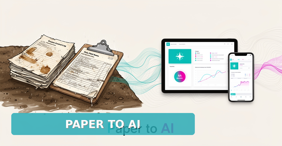
From Paper Logs to AI: How Erosion Control Contractors Can Digitize Field Data
Key Facts
- Field data platforms like Fulcrum report significant daily time savings per employee by eliminating redundant data entry, though exact figures vary by workflow
- AI-assisted form filling can auto-complete the majority of standard inspection fields, reducing manual entry for field crews
- Offline-capable mobile apps ensure uninterrupted data capture at remote erosion control sites with no cellular or Wi-Fi access
- Soil pH between roughly 6.0 and 7.5 typically optimizes nutrient availability for most vegetation used in stabilization
- AI-powered hazard recognition can identify safety risks from photo analysis, supporting on-site safety protocols
- Ecological restoration aims to assist the recovery of degraded, damaged, or destroyed ecosystems
Hire a team member that works 24/7 — for less than a part-time wage.
AI receptionists, SDRs, dispatchers and 99+ roles. Trained on your business, fully managed.
Not sure where to start? Ask our AI planner
The Hidden Cost of Paper Logs in Erosion Control Field Operations
The shift from paper logs to digital field data collection represents a critical operational turning point for erosion control contractors. Traditional paper-based systems create inefficiencies that directly impact project timelines and compliance readiness. Field crews spend significant time manually completing forms, transcribing notes, and managing physical documentation—time diverted from core erosion control tasks, with a higher likelihood of errors along the way.
Field data platform vendors such as Fulcrum report that eliminating redundant data entry can save multiple hours per employee per day. Even at the conservative end, that translates to several hours per worker each week—time that can be redirected toward proactive site assessments, material optimization, or regulatory preparation. For a crew of five, the recovered hours add up quickly across a season of active sites.
Paper logs also introduce persistent data quality issues that compromise decision-making and audit readiness. Illegible handwriting, inconsistent terminology, and delayed transcription create gaps in the data record that can lead to misinterpretations of soil conditions or the effectiveness of erosion mitigation measures. These inaccuracies are particularly problematic when tracking pH levels, nutrient content, or organic matter—factors critical to selecting appropriate stabilization strategies and demonstrating environmental compliance.
- Transcription errors from paper to digital systems often occur during back-office processing, introducing delays and inaccuracies
- Lost or damaged logbooks in the field result in irreversible data loss, requiring costly rework or estimation
- Inconsistent formatting across crew members complicates aggregation and analysis of site-wide trends
- Delayed data availability prevents real-time adjustments to erosion control measures based on changing soil or weather conditions
- Manual reporting cycles create lag between field observations and regulatory submission deadlines
Beyond operational delays, paper-based systems heighten compliance risks for erosion control projects subject to strict environmental regulations. Without automated validation rules or real-time quality checks, field data may fail to meet documentation standards required for permits or inspections. Transforming these raw field inputs into structured, reliable datasets is the first step toward unlocking predictive insights—such as anticipating soil instability or optimizing material deployment—through AI-driven analysis. This foundation enables contractors to move beyond reactive documentation toward proactive environmental stewardship.
AI-Powered Field Data Platforms: Beyond Simple Digitization
For erosion control contractors, the leap from paper logs to digital field data collection is no longer about replacing clipboards with tablets—it's about transforming raw field inputs into immediate, actionable intelligence. Modern platforms like Fulcrum, Fieldshare, and Field1st embed AI directly into the workflow, turning voice notes, soil samples, and inspection records into structured, validated data the moment they're captured. This shift enables contractors to move beyond passive record-keeping toward proactive decision-making, where data doesn't just sit in a report—it drives real-time adjustments in material use, safety protocols, and project timelines.
AI-powered features such as voice-to-form transcription allow field technicians to dictate progress notes or soil observations hands-free, reducing manual entry errors and saving meaningful time—Fulcrum reports multi-hour daily savings per employee for users across environmental and construction sectors. Similarly, Field1st's AI hazard recognition uses photo analysis to identify potential safety risks on-site and suggest controls, while its data quality tooling flags incomplete or inconsistent entries as they're submitted, improving data integrity from the outset. These capabilities are especially valuable at remote erosion control sites where connectivity is unreliable; Fieldshare emphasizes full offline functionality, ensuring uninterrupted data capture even in areas with no cellular or Wi-Fi access.
Beyond collection, these platforms enable deeper integration with GIS systems and back-office operations, allowing field data to flow into project management, compliance reporting, and resource planning tools. Fulcrum's field operations platform is used by thousands of companies globally to standardize environmental workflows and bridge field tech with office ecosystems through API and Esri ArcGIS integrations. AIQ Labs builds on this ecosystem with AI Workflow Builds that enrich field data with predictive analytics—forecasting soil stability risks or optimizing erosion control material deployment based on historical patterns and real-time inputs—so contractors can anticipate issues before they escalate and operate with greater precision. With 200+ multi-agent systems deployed and four live SaaS products run daily, AIQ Labs has deep experience turning field data into decisions.
Practical Steps to Implement AI-Enhanced Field Data Collection
For erosion control contractors ready to modernize field operations, implementing AI-enhanced data collection begins with a clear assessment of existing workflows. Start by documenting all paper-based processes—soil sample logs, progress notes, inspection records, and safety checklists—to identify pain points and opportunities for automation. This foundational step ensures the digital solution addresses real operational needs rather than forcing workflows into a generic system, setting the stage for meaningful efficiency gains. Industry reporting on platforms like Fulcrum consistently points to multi-hour daily savings per employee once manual data entry is eliminated.
Next, select a digital platform that aligns with field-specific requirements, prioritizing offline functionality and AI-powered features. Look for solutions offering voice-to-form transcription, photo-based hazard recognition, and automated data validation—capabilities that directly improve data quality and field productivity. Fieldshare, for instance, emphasizes full offline capability for remote locations with limited connectivity, while Field1st demonstrates that the majority of standard form fields can be auto-filled by AI. These features reduce cognitive load on crews and minimize errors in critical environmental data.
Once a platform is chosen, configure digital forms to mirror existing paper workflows while incorporating validation rules and conditional logic. Train field staff through hands-on sessions focused on practical use cases, emphasizing how AI tools like voice-driven forms simplify daily tasks rather than complicate them. Establish quality control measures using AI-powered data checks to catch inconsistencies in real time, and integrate the platform with back-office systems for seamless data flow. Continuous monitoring of adoption rates and data integrity allows for iterative improvements, ensuring the system evolves with project needs. When you're ready to go further—connecting field data into a predictive layer that flags soil instability risks before they become claims—AIQ Labs offers fixed-price, milestone-based workflow builds that rebuild the one workflow costing you the most, with no surprise invoices. Start with the two-minute Fit Check at aiqlabs.ai/apply.
Still paying for 10+ subscriptions that don’t talk to each other?
We build custom AI systems you own outright. No vendor lock-in. Full control.
Not sure where to start? Ask our AI planner
Frequently Asked Questions
How much time can erosion control contractors save per employee by switching from paper logs to digital field data collection?
What specific AI-powered features help improve data quality in field operations for erosion control work?
Can digital field data platforms work effectively in remote erosion control sites with no internet connectivity?
Why is accurate field data collection important for erosion control contractors beyond just record-keeping?
What are the first steps an erosion control contractor should take when implementing AI-enhanced field data collection?
How does AI integration in field data collection support regulatory compliance for erosion control projects?
From Field Notes to Forward-Looking Operations
Moving from paper logs to AI-enhanced field data collection is less about replacing clipboards and more about reclaiming time, accuracy, and confidence in erosion control operations. Digitizing soil samples, progress notes, and inspections eliminates transcription errors, lost logbooks, and delayed reporting while enabling real-time adjustments to changing site conditions. Platforms with offline capability, voice-to-form transcription, and AI-powered validation are already saving crews meaningful hours every day—time that can be redirected to proactive assessments and compliance readiness. The next step is to map your current paper workflows, prioritize the forms and validation rules that matter most, and choose a platform that fits remote sites and crew habits. Once structured data is flowing, AIQ Labs can help you connect it into a predictive layer that anticipates soil instability and optimizes material deployment—built in milestones at a fixed price, and owned outright when complete. Start the two-minute Fit Check at aiqlabs.ai/apply, then book your free 30-minute strategy call at aiqlabs.ai/book to map your biggest bottleneck and identify high-ROI automation opportunities.
Make AI your competitive advantage — not just another tool.
Strategy, implementation and ongoing optimization. One partner, end to end.
Not sure where to start? Ask our AI planner