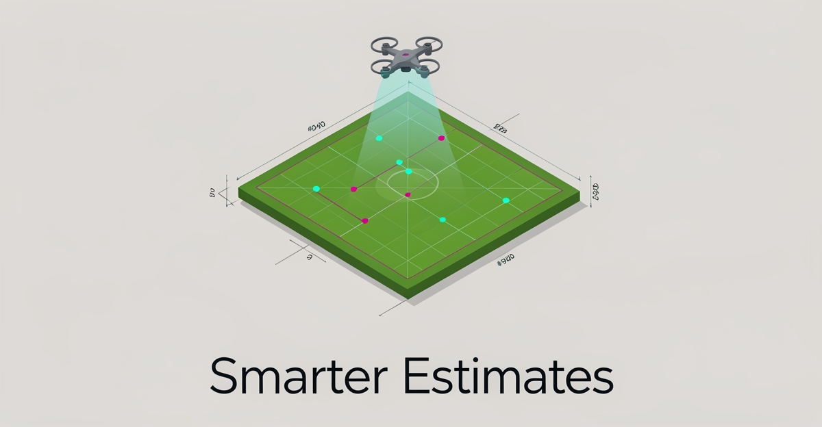
How AI Can Automate Site Assessments and Estimate Job Costs in Sod Installation
Key Facts
- Drone surveys can typically cover large properties in minutes rather than the hours a manual walk requires
- Flawed early-phase estimates are a leading contributor to project cost overruns, per industry cost-estimation research
- Feasibility-stage estimates often carry accuracy ranges as wide as -30% to +50%, which is why early quoting is so risky
- RTK-enabled drones deliver centimeter-level accuracy, preventing map drift and measurement disputes between flights
- Machine learning models such as Random Forest have shown meaningful accuracy gains over traditional geostatistical methods like Kriging in spatial estimation testing
Hire a team member that works 24/7 — for less than a part-time wage.
AI receptionists, SDRs, dispatchers and 99+ roles. Trained on your business, fully managed.
Not sure where to start? Ask our AI planner
The Hidden Cost of Manual Site Assessments in Sod Installation
Manual tape measures and boots-on-the-ground walks still drive most sod estimates, and the hidden price shows up later. Inaccurate takeoffs create a cascade of rework, material waste, and frustrated customers that erodes margin on every job.
Traditional measurement methods are slow and error-prone. A human walking a large site can spend hours covering ground that a drone survey maps in minutes. That time gap is only part of the problem; the manual process also invites inconsistency between estimators and misses subtle grade changes that affect sod quantity.
Estimation errors are a leading cause of project overruns. Industry research on cost estimation consistently finds that flawed early-phase estimates account for a substantial share of cost overruns. Early estimates are especially volatile, with feasibility-stage accuracy often ranging from -30% to +50%. For sod installers, that translates to under-ordering rolls and emergency deliveries or over-ordering and paying for waste.
Labor intensity compounds the issue. Drone surveying can dramatically reduce the labor hours tied up in assessment, freeing estimators to quote more jobs per week. The savings are not just speed; manual surveys create bottlenecks that delay proposals and push crews into less optimal schedules.
The cost impact shows up in three recurring ways:
- Material miscalculation from inaccurate area takeoffs and unmapped obstacles
- Crew downtime waiting for revised estimates after site visits reveal measurement gaps
- Bid loss or margin erosion when estimates are padded to cover uncertainty
These frictions are why installers are moving toward automated assessment. AI-powered tools can analyze photos, satellite data, and property dimensions to automatically generate accurate job estimates, eliminating manual measurements and reducing estimation errors. AIQ Labs builds these systems as fixed-price, phased [AI Workflow Builds](/workflow-builds) that integrate with tools you already use, like Google Maps or drone platforms, so installers can scale quoting without scaling headcount.
The shift removes the dependency on estimator availability and experience. Automated monitoring and reporting can cut supervision overhead and surface site issues in hours instead of days. With centimeter-level accuracy from RTK-enabled drones, maps stop floating between flights and disputes about inches decline.
Manual site assessment remains a hidden tax on growth. Faster, data-driven measurement changes the economics of quoting and lets teams focus on installation quality rather than rework.
How AI-Powered Tools Eliminate Guesswork in Site Analysis
AI-powered tools are transforming how sod installers approach site analysis by eliminating guesswork through automated data collection and intelligent processing. By integrating drone surveying, satellite imagery, and machine learning models like Random Forest, these systems deliver precise property dimension analysis and terrain assessment with minimal manual intervention. This shift enables faster, more reliable estimates while reducing reliance on time-consuming field measurements.
Drone surveying cuts the labor hours a full assessment requires, allowing teams to map large or complex properties in a fraction of the time a manual walk demands. These efficiency gains translate directly into faster project timelines and lower operational overhead. AIQ Labs develops custom AI workflows that integrate with existing tools like Google Maps or drone systems to automate these processes without disrupting current operations.
Machine learning models such as Random Forest have outperformed traditional geostatistical methods like Kriging in spatial estimation testing, delivering tighter error margins on predicted values. This improved precision ensures material quantities and site preparation needs are calculated with greater reliability, reducing the risk of over- or under-estimating sod and soil requirements. When combined with photogrammetry for visual modeling and LiDAR for terrain mapping, these AI-driven approaches create a comprehensive site analysis pipeline.
- Automated property dimension analysis using satellite and drone imagery
- Terrain assessment through photogrammetry and LiDAR data processing
- Material quantity estimation based on AI-processed site characteristics
- Integration with Google Maps and drone systems for seamless workflow adoption
- Real-time validation of estimates to ensure accuracy before job quoting
By replacing manual measurements with automated, data-driven analysis, AI-powered site assessment tools provide sod installers with consistent, scalable insights that support accurate job costing. This approach not only reduces estimation errors but also frees up skilled labor to focus on installation and customer service rather than data collection. As of late 2026, these technologies continue to lower barriers to entry for smaller landscaping businesses seeking to compete with larger operators through improved efficiency and precision.
Implementing AI Workflows for Scalable, Accurate Job Estimates
Moving from manual site assessments to AI-driven workflows requires a structured approach that prioritizes accuracy and integration. By following a clear implementation path, sod installers can transition from labor-intensive measurements to automated systems that deliver precise estimates in hours rather than weeks.
The foundation of accurate aerial assessment lies in selecting the right hardware. RTK-enabled drones are generally considered essential for achieving centimeter-level accuracy instead of meter-level drift. Without RTK, drone maps "float," leading to measurement disputes and lost trust in the data.
Once you have the right equipment, the next step involves deploying AI for photo analysis and site condition assessment. Machine learning models can process aerial imagery to identify terrain features, soil conditions, and existing vegetation, while property dimension analysis calculates exact material requirements. This automated approach eliminates the guesswork that typically plagues manual measurements.
To implement these workflows effectively, follow these essential steps:
- Deploy RTK-enabled drones with appropriate sensors (photogrammetry for visual models, LiDAR for complex terrain)
- Establish ground control points to tie aerial data to real-world coordinates
- Integrate photo analysis tools that assess site conditions and calculate square footage automatically
- Connect automated reporting systems that generate cost projections directly from spatial data
The impact on labor efficiency is substantial. Drone surveying typically reduces the labor hours an assessment requires by a wide margin while improving data consistency. These systems can map large properties in minutes, work that would take hours on foot, delivering both speed and precision.
AIQ Labs specializes in building custom workflows that integrate these capabilities with platforms you already use, such as Google Maps. The approach is phased and fixed-price, so you know the cost before work begins, and the finished system fits seamlessly into existing operations, allowing you to scale without adding headcount. For teams that want quoting handled end to end, managed [AI Employees](/ai-employees) can run intake, follow-ups, and estimate delivery around the clock.
The financial case for adoption is compelling. With traditional estimation methods carrying accuracy ranges as wide as -30% to +50% and flawed estimates driving a significant share of project cost overruns, AI-driven precision offers a clear competitive advantage. By implementing these workflows, sod installers can achieve detailed accuracy while reducing the manual labor that traditionally limits growth.
Still paying for 10+ subscriptions that don’t talk to each other?
We build custom AI systems you own outright. No vendor lock-in. Full control.
Not sure where to start? Ask our AI planner
Frequently Asked Questions
How accurate are AI-generated sod estimates compared to manual site measurements?
What hardware do I need to start using AI for site assessments?
How much time can drone surveying actually save on large sod installation projects?
Will AI estimation tools integrate with my existing software like Google Maps?
Can AI really prevent the cost overruns I experience with traditional estimating?
Do I need to hire specialized staff to operate AI assessment tools?
Turn Site Surveys Into Your Competitive Edge
Manual site assessments in sod installation aren't just slow, they're silently draining profits through material waste, rework, and missed bids. AI-powered workflows change that by replacing guesswork with precision: RTK-enabled drones capture centimeter-level data in minutes, machine learning models tighten estimation accuracy, and automated reporting turns raw imagery into reliable job quotes. For sod installers, this means faster proposals, fewer cost overruns, and the ability to scale without adding headcount. The shift isn't about adopting new tech for its own sake, it's about freeing your team to focus on quality installation instead of measurement errors. If you're ready to see how AI can fit into your current workflow, whether through drone integration, photo analysis, or seamless Google Maps compatibility, start with a 2-minute Fit Check, then a free 30-minute strategy call. AIQ Labs helps sod businesses build custom AI systems they own outright, with real margin improvement. Start your Fit Check today and find out where automation can unlock your next level of efficiency.
Make AI your competitive advantage — not just another tool.
Strategy, implementation and ongoing optimization. One partner, end to end.
Not sure where to start? Ask our AI planner