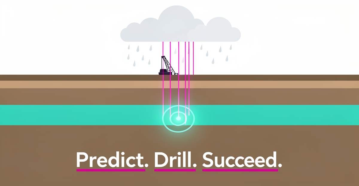
# How AI Can Predict Water Table Levels and Improve Well Location Accuracy
**Quick Answer:** Tired of expensive dry wells? Research shows AI models can forecast water table levels with very high accuracy, up to 99% in one CNN study, using just rainfall, river flow, and extraction data. Stop guessing and start drilling with evidence.
## Key Facts
- AI models can deliver high accuracy while requiring far less data volume than traditional numerical simulators.
- The Outlier Robust Extreme Learning Machine (ORELM) model achieved a correlation coefficient of 0.96 with observed groundwater level data in the Sonqor plain study.
- A Convolutional Neural Network (CNN) model in Izeh City reached an R² of 0.9948 and an RMSE of 0.0558, outperforming alternatives like RNN, SVM, and random forest.
- The CNN model showed no outlier data predictions, indicating high reliability in groundwater level forecasting.
- River flow rate and groundwater extraction rate were the most influential variables on groundwater level in the Izeh City study.
- LSTM models have achieved R² scores between roughly 0.79 and 0.95, outperforming traditional feed-forward neural networks in groundwater level prediction.
- The Sonqor plain study area's water demands are partially supplied by 278 deep wells drilled south and west of the plain.
## The Costly Problem: Why Traditional Well Siting Fails in Data-Scarce Regions
Drilling a well without knowing where the water actually is is a costly gamble, and in data-scarce regions, that gamble is often lost.
Traditional groundwater modeling relies on numerical tools such as GMS, MODFLOW and FEFLOW. These models require extensive statistics and information and various field experiments such as pumping tests, geophysics, soil and land use maps, topography and slope data, different boundary conditions and complex equations. Applied Water Science research notes this makes calibration and verification very time-consuming and complex.
Physical models also demand a lot of data to simulate fluctuations of the groundwater level due to complex, non-linear relationships between variables. Frontiers in Environmental Science analysis highlights that the lack of reliable and complete data makes these traditional models difficult to apply in many regions.
The result is a predictable cycle for drilling operators. Teams spend weeks gathering inputs, run expensive simulations, and still face uncertainty. When the model is built on sparse or outdated field data, the borehole can come up dry. That means wasted rig time, lost materials, client dissatisfaction, and reputational damage that is hard to recover.
Data scarcity amplifies every weakness of conventional siting:
- Extensive field campaigns for pumping tests, geophysics and soil mapping that delay projects
- Complex calibration and verification that is very time-consuming and costly
- High sensitivity to missing boundary conditions, leading to unreliable predictions
- Limited ability to adapt quickly when local rainfall, river flow or extraction rates change
In water management, one of the most important challenges in analyzing and predicting groundwater depletion is the lack of reliable and complete data. Springer research on the Sonqor plain emphasizes that this gap makes traditional approaches impractical for many well drilling operations.
The cost is not only financial. Dry wells erode client trust and force companies to absorb re-drill expenses or lose future contracts. In regions supplied by hundreds of deep wells, such as the 278 deep wells drilled south and west of the Sonqor plain, inaccurate siting compounds resource stress and community frustration.
This is why predictive analytics is gaining traction for groundwater work. **AI models can deliver high accuracy while requiring much less data volume** than numerical simulators, making them a natural fit for data-scarce environments.
For well drilling companies, the shift matters. Instead of waiting for complete hydrogeological surveys, teams can use AI models trained on geological and hydrological data to predict water table trends and suggest better well locations. AIQ Labs builds these kinds of custom predictive systems through its AI Workflow Builds service, rebuilding the one workflow that costs you the most, at a fixed price, in phases.
## AI as a Data-Efficient Solution: Proven Models That Outperform Traditional Methods
Traditional groundwater models demand extensive data collection and complex calibration, often proving impractical in regions with limited monitoring infrastructure. AI-based approaches overcome this by delivering high predictive accuracy using minimal inputs like rainfall, river flow, and extraction rates, making them ideal for data-scarce environments where reliable historical records are sparse. Research confirms that AI models can use sparse, brief data to mimic irregular and non-linear time series with high accuracy, reducing both time and cost compared to conventional methods.
Among the most effective algorithms, the Outlier Robust Extreme Learning Machine (ORELM) achieved a correlation coefficient of 0.96 with observed groundwater level data in the Sonqor plain study, demonstrating exceptional fit and reliability. Meanwhile, a Convolutional Neural Network (CNN) model applied in Izeh City reached an R² of 0.9948 and an RMSE of 0.0558, outperforming alternatives like RNN, SVM, and random forest while showing no outlier predictions. These results highlight AI's capacity to handle non-linear patterns and sparse data effectively, outperforming traditional numerical models that require extensive field experiments and topographic maps.
AI Employees
Hire a team member that works 24/7 — for less than a part-time wage.
AI receptionists, SDRs, dispatchers and 99+ roles. Trained on your business, fully managed.
See If You’re a Fit — AI Employees from $700/mo
Not sure where to start? Ask our AI planner
underline decoration-amber hover:decoration-amber-deep hover:text-amber-deep underline-offset-4 transition-colors" href="https://www.frontiersin.org/journals/environmental-science/articles/10.3389/fenvs.2024.1291327/full">Further analysis identified river flow rate and groundwater extraction rate as the most influential variables, reinforcing the efficiency of models trained on just a few key hydrological inputs.
- ORELM model: correlation coefficient of 0.96 with observed GWL data
- CNN model: R² of 0.9948 and RMSE of 0.0558
- LSTM models: R² scores typically between roughly 0.79 and 0.95, outperforming feed-forward neural networks
- KNN-RF hybrid: more accurate than individual ANN, KNN, SVM, and RF models
- Input variables: rainfall rate (R), river flow rate (P), groundwater extraction rate (E)
For well drilling companies, this means AI models can predict water table trends with minimal data overhead, reducing the risk of dry wells and improving site selection accuracy. By focusing on proven, data-efficient algorithms, AI delivers actionable insights where traditional methods fall short, turning uncertainty into a strategic advantage in groundwater resource management.
## From Prediction to Action: How AI-Guided Well Siting Reduces Risk and Improves ROI
Every dry well drilled is a direct hit to margins, timelines, and client trust. The question is no longer whether AI can predict groundwater levels accurately, studies consistently show it can, but how drilling companies convert those predictions into smarter well placement decisions that protect the bottom line.
The accuracy numbers are compelling. A study of the Sonqor plain found that an ORELM model achieved a correlation coefficient of 0.96 with observed groundwater level data, leading researchers to recommend it as a replacement for complex numerical models across the entire plain. In a separate study of Izeh City, a CNN model reached an R² of 0.9948 with an RMSE of just 0.0558, and produced no outlier predictions at all.
For a drilling operation, those numbers translate into something concrete: fewer failed wells. Consider the scale of demand in a region like the Sonqor plain, where 278 deep wells drilled south and west of the plain partially supply water needs. When drilling programs involve hundreds of wells, even a modest reduction in dry hole rates compounds into significant savings in fuel, labor, casing, and client goodwill.
AI-guided siting changes the economics of each project in several ways:
- **Reduced rework and waste:** models trained on local rainfall, river flow, and extraction data identify where water tables are stable before a rig ever moves.
- **Lower data costs:** AI models require far less data volume and setup time than traditional numerical models like MODFLOW, which demand extensive field experiments and lengthy calibration.
- **Faster project timelines:** the CNN study showed parallelization capabilities for fast processing, letting teams evaluate candidate sites in hours rather than weeks.
- **Stronger client confidence:** predictions grounded in measurable accuracy metrics give clients transparent justification for each recommended location.
The practical path forward starts small. Rather than overhauling operations overnight, companies can pilot a predictive model on a single active service area, feeding in local soil, climate, and extraction records. Pairing model outputs with IoT water level sensors adds a real-time feedback loop that keeps predictions current as conditions change.
This is the model we follow at AIQ Labs when building custom predictive systems for well drilling companies: train on local data, validate against real drilling outcomes, and deploy in phases the client owns outright. The regional caveat matters, models trained on one basin need retraining for another, so the build process should always start with the geography you actually serve.
Prediction only creates value when it changes where the drill goes next. Companies that close that loop are drilling with evidence instead of instinct.
## Implementing AI-Powered Well Siting: A Practical Roadmap for Drilling Companies
Implementing AI-powered well siting begins with a clear assessment of local data gaps and operational pain points. Drilling companies can start by identifying key variables such as rainfall patterns, river flow rates, and groundwater extraction trends that most influence water table fluctuations in their target regions. Research shows that in the Izeh City study, river flow rate (P) and groundwater extraction rate (E) were the most influential variables on groundwater level, making them critical inputs for any predictive model. This insight helps focus early data collection efforts on the factors that drive the most accurate forecasts.
Next, deploy low-cost IoT sensors to gather real-time hydrological data at strategic well sites or monitoring points. These sensors can capture rainfall, water flow, and soil moisture levels, providing the granular, localized input needed to train accurate AI models. When combined with satellite-derived datasets, such as Synthetic Aperture Radar (SAR) imagery for surface water extent, this creates a rich, multi-source data stream. Studies confirm that AI models like CNNs can effectively process such inputs, achieving an R² of 0.9948 and an RMSE of 0.0558 when predicting groundwater levels using just three variables: groundwater extraction rate, rainfall rate, and river flow rate. This level of accuracy significantly reduces uncertainty in well placement decisions.
With data flowi
AI Development
Still paying for 10+ subscriptions that don’t talk to each other?
We build custom AI systems you own outright. No vendor lock-in. Full control.
See If You’re a Fit — AI Employees from $700/mo
Not sure where to start? Ask our AI planner
ng in, apply AI analytics to detect patterns and forecast future water table trends. Models such as ORELM have demonstrated strong performance, achieving a correlation coefficient of 0.96 with observed groundwater level data in the Sonqor plain study. This high correlation indicates reliable predictions that can guide drilling teams toward zones with sustainable aquifer recharge and away from areas prone to depletion. The ability of AI to learn complex, non-linear relationships from sparse data makes it ideal for regions where traditional modeling is impractical due to data scarcity or high costs.
To validate ROI before scaling, launch a pilot project using existing infrastructure. Start with a single watershed or drilling corridor, integrating sensor data, public hydrological datasets, and a pre-built AI model to generate well location recommendations. Track outcomes such as dry well reduction, client satisfaction scores, and time saved in site surveys. Beginning small allows teams to refine data pipelines, model accuracy, and user workflows without overcommitting resources. This phased approach aligns with AIQ Labs' milestone-based delivery model: you pay as each phase proves itself, and you own the final system outright. If you're ready to scope a pilot, the 2-minute Fit Check is the fastest way to start.
Finally, use AI-generated insights to actively guide well placement decisions, adjusting predictions as new data arrives. Over time, the system can evolve into a decision-support tool that not only improves drilling success rates but also supports sustainable groundwater management by highlighting overused aquifers. By grounding implementation in lean AI adoption practices, drilling companies can transform uncertainty into actionable intelligence, one well at a time.
## Frequently Asked Questions
**Can AI really predict water table levels accurately when we have so little field data?**
Yes. AI models can deliver high accuracy with much less data volume than numerical simulators. An Outlier Robust Extreme Learning Machine achieved a correlation coefficient of 0.96 with observed groundwater level data in the Sonqor plain study (Applied Water Science).
**How does AI compare to traditional models like MODFLOW for well siting?**
Traditional models require extensive pumping tests, geophysics, soil maps and lengthy calibration. AI models use sparse inputs like rainfall, river flow and extraction rates and can mimic non-linear time series with high accuracy, reducing time and cost (Frontiers in Environmental Science).
**Which AI algorithm works best for groundwater level forecasting?**
Performance varies by context. In Izeh City a Convolutional Neural Network reached an R² of 0.9948 and RMSE of 0.0558 with no outlier predictions (Frontiers study), while ORELM was recommended as a replacement for complex numerical models in the Sonqor plain.
**What data do I actually need to start an AI well location model?**
You can start with a few key hydrological inputs. River flow rate and groundwater extraction rate were the most influential variables in the Izeh City study, alongside rainfall rate (Frontiers analysis). IoT sensors and satellite data can supplement sparse records.
**Will an AI model trained in one basin work in another?**
No, models are region specific. AI models trained on one basin need retraining for another due to different geology and hydrology. A pilot project in a single watershed lets you validate accuracy against real drilling outcomes before scaling.
**How can AI reduce dry wells and improve ROI for drilling companies?**
AI-guided siting identifies stable water tables before rig mobilization, cutting rework and data costs. In the Sonqor plain, 278 deep wells supply water needs, so even a modest reduction in dry holes compounds into significant savings in fuel, labor and client trust (Sonqor plain study).
## Drill Smarter, Not Deeper: The Future of Well Siting Is Predictive
The era of drilling on instinct and hoping for water is ending. As this article has shown, AI models like ORELM and CNN can predict groundwater levels with remarkable accuracy, achieving correlation coefficients above 0.96, using nothing more than rainfall, river flow, and extraction data. For well drilling companies, this translates directly into fewer dry wells, lower operational costs, faster project timelines, and clients who trust your recommendations because they're backed by evidence, not guesswork. The path forward doesn't require overhauling your entire operation overnight. Start with a pilot project in one service area, integrate local sensor data, and let the model prove its value before scaling. At AIQ Labs, we build custom predictive models trained on your local soil and climate data, delivered in milestones, owned outright. Ready to turn uncertainty into your competitive advantage? Start the 2-minute Fit Check and book a free strategy call to map out how predictive analytics can transform your next drilling project.
AI Transformation Partner
Make AI your competitive advantage — not just another tool.
Strategy, implementation and ongoing optimization. One partner, end to end.
See If You’re a Fit — AI Employees from $700/mo
Not sure where to start? Ask our AI planner