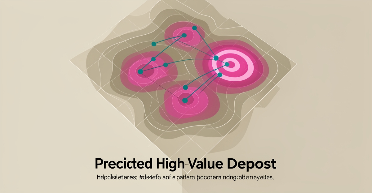
How AI-Powered Geospatial Analysis Can Predict High-Value Deposit Zones
Key Facts
- AI-driven geospatial automation has reportedly cut chart production from hours to minutes per Leidos' RAVe system
- Work that once took up to 40 hours has reportedly been reduced to minutes with AI automation based on Leidos' implementation
- Leidos reports over 99.99% first-time-right accuracy in automated geospatial processing as demonstrated by its RAVe system
- AI reportedly reduces touch labor by roughly 50% in geospatial workflows according to Leidos data
- NASA's Prithvi foundation model is pre-trained on Harmonized Landsat and Sentinel-2 satellite data per NASA's AI research
- Human oversight keeps AI predictions trustworthy in mineral exploration per Leidos' quality assurance leadership
- AI integrates historical data, satellite imagery, and geophysical surveys to find subtle correlations as described in Leidos insights
Hire a team member that works 24/7 — for less than a part-time wage.
AI receptionists, SDRs, dispatchers and 99+ roles. Trained on your business, fully managed.
Not sure where to start? Ask our AI planner
The Costly Guesswork of Traditional Mineral Exploration
For decades, mineral exploration has been a high-stakes gamble where success depends on reading sparse clues under immense uncertainty.
Traditional programs rely on manual interpretation of limited datasets and sequential field campaigns. Geologists spend months to years correlating historical maps, sparse drill logs, and isolated geophysical lines. The process is painstaking, repetitive, and cognitively demanding, with mapping and analyzing data taking too long, being too expensive, and monotonous in nature.
That manual bottleneck creates financial and operational risk. Exploration budgets are consumed by touch labor and trial-and-error fieldwork, while success rates remain low. When analysts must manually identify and attribute tens of thousands of features on a single survey, human error and cognitive limits compound. Scot Shiflett, Director of the Geospatial Innovation Center at Leidos, has noted the time it takes to process and deliver intelligence falls short of today's standards.
The workflow constraints are structural:
- Manual interpretation of limited historical and geophysical datasets
- Months to years required for comprehensive regional analysis
- Pattern recognition limited by human capacity across vast areas
- Difficult scalability across large or remote terrains
Predictive engineering analytics shows how simulation and intelligent data analytics can predict outcomes before physical work begins. The approach aims to let simulation drive design and predict behavior rather than react to issues after they arise. In exploration, that means shifting from reactive drilling to targeted drilling.
AI-powered geospatial analysis changes the economics. Leidos' RAVe system reportedly reduces chart production from hours to minutes while achieving over "four nines" first-time-right accuracy using automation. The same workflow reportedly delivered a ~50% reduction in touch labor and turned work that once took up to 40 hours into minutes.
These gains are not theoretical. NASA's Office of the Chief Science Data Officer shows AI foundation models pre-trained on vast satellite data can be adapted to specific science studies with minimal resources, with strong promise for geological applications. Historical data, satellite imagery, and geophysical surveys are integrated to find subtle correlations humans miss.
Human expertise remains central to quality assurance. As Nick Cooper, Quality Assurance Manager at Leidos, has emphasized, if you can't trust the intelligence, you're going into a mission blind. That is why AIQ Labs builds predictive AI systems for mineral exploration trained on real-world datasets and field data, pairing machine learning models with geological oversight, typically delivered as a fixed-price AI Workflow Build that rebuilds the one exploration workflow that costs you the most.
The result is fewer blind holes, faster prioritization, and capital focused where probability is highest.
How AI Transforms Geospatial Data into Actionable Exploration Intelligence
Machine learning now reads the Earth the way a seasoned geologist reads a core sample, only faster, at continental scale, and without fatigue. By fusing satellite imagery, historical surveys, and geophysical data, modern models surface mineralization patterns that once stayed buried in noise.
The shift starts with AI foundation models like NASA's Prithvi, pre-trained on Harmonized Landsat and Sentinel-2 satellite data. According to NASA's AI research, these models adapt to specific geological studies with minimal additional resources, turning raw spectral data into maps of alteration zones and structural features that hint at deposits below.
The real power emerges when models ingest multiple data streams at once:
- Historical exploration records that reveal regional mineralization trends
- Satellite imagery capturing surface expressions of alteration
- Geophysical surveys, magnetic, gravity, electromagnetic, exposing subsurface structure
- Remote sensing data across spectral and thermal bands
Evidence of speed and precision already exists in adjacent geospatial work. Leidos' RAVe system, built to convert complex imagery into geo-referenced data, reportedly cut a process that once took up to 40 hours down to minutes, with over 99.99% first-time-right accuracy and roughly 50% less manual labor. The same architecture that automates nautical chart production can rank exploration targets before a single drill rig mobilizes.
This is where predictive engineering analytics principles matter: simulate first, act second. Rather than reacting to dry holes, exploration teams let models predict where mineralization is most probable, shrinking the trial-and-error loop that has defined the industry for decades.
Yet automation doesn't replace expertise. As Leidos' quality assurance leadership notes, analysts remain central to validating outputs, human oversight keeps predictions trustworthy, especially when economic decisions ride on them. The best systems pair machine pattern recognition with geological judgment.
That pairing is exactly how AIQ Labs approaches predictive systems for mineral exploration: training models on real-world datasets and field data, then structuring workflows so geologists validate and refine what the AI flags. The result is exploration intelligence that moves from raw satellite feed to prioritized target list in days, not the months traditional analysis demands.
From Prediction to Field Validation: A Practical Workflow for AI-Driven Exploration
Moving from a model prediction to a drill-ready target requires discipline, not just data. AI can flag anomalies across millions of hectares, but only a structured workflow turns those signals into geologically sound and economically actionable prospects.
The process starts with data collection and integration. Historical exploration results, satellite imagery, and geophysical surveys are gathered from multiple sources and normalized for consistency. This multi-source foundation mirrors how predictive engineering analytics combines simulation, testing, and intelligent data analytics to predict outcomes before physical work begins.
Data preprocessing cleans and harmonizes the inputs so machine learning models can learn reliable patterns. Feature engineering then extracts indicators of mineralization potential such as geological structures, alteration zones, and geochemical anomalies. Model training follows using known deposits to establish correlations, with validation against independent datasets to ensure reliability.
Validation is where human-AI collaboration becomes critical. While AI excels at processing vast datasets, geological experts review AI-generated predictions to incorporate domain knowledge and contextual understanding. As geospatial intelligence work shows, human analysts remain central to quality assurance.
Prediction generation applies the validated model to unexplored areas to rank prospective zones. The workflow then shifts to the field:
- Human review and interpretation by geologists to filter false positives
- Targeted field verification with sampling and ground geophysics
- Model refinement based on new findings to improve future predictions
This closed loop reduces trial-and-error exploration. AI-driven geospatial automation has reportedly reduced chart production from hours to minutes with over "four nines" first-time-right accuracy. In practice, work that once took up to 40 hours reportedly takes minutes, with touch labor falling by roughly 50%.
Predictive analytics also changes the economics of targeting. By analyzing vast datasets impossible for manual review, models identify subtle patterns that indicate high-value deposit zones. The result is faster initial predictions, lower labor costs, and better odds of finding economically viable deposits.
For teams adopting this approach, AIQ Labs builds predictive AI systems for mineral exploration trained on real-world datasets and field data. The focus stays on geologically sound and economically actionable outputs, not just statistical scores. Integration with existing exploration workflows, governance for responsible use, and continuous model updating ensure predictions remain trustworthy as conditions change. Teams that want this capability connected to the rest of their operations can graduate to an AI Operating System, one connected layer, built in phases, owned outright.
Field verification closes the loop. Targeted ground work confirms or refutes AI priorities, and results feed back into the model. Over cycles, the system learns local geology better and reduces unnecessary drilling, making previously uneconomical areas accessible for development.
Still paying for 10+ subscriptions that don’t talk to each other?
We build custom AI systems you own outright. No vendor lock-in. Full control.
Not sure where to start? Ask our AI planner
Frequently Asked Questions
How much time can AI-powered geospatial analysis save compared to traditional mineral exploration methods?
What accuracy rate do AI systems achieve in processing geospatial data for mineral exploration?
Does AI replace geologists in mineral exploration, or do humans still play a role?
What types of data are integrated in AI-powered geospatial analysis for predicting mineral deposits?
How does AI reduce costs in mineral exploration workflows?
What is predictive engineering analytics, and how does it apply to mineral exploration?
From Continental Scale to Drill-Ready Targets
Mineral exploration has long been defined by the gap between the scale of the search and the limits of human analysis. AI-powered geospatial analysis closes that gap by fusing satellite imagery, geophysical surveys, and historical records into predictive models that rank targets before a rig mobilizes. The workflow moves from data integration through model validation to field verification in a closed loop, cutting regional analysis from months to days while keeping geologists in command of the final call. Leidos' RAVe system shows the underlying automation can work at production scale, work that once took up to 40 hours reportedly takes minutes with over 99.99% first-time-right accuracy. AIQ Labs applies that same engineering discipline to mineral exploration, building predictive systems trained on real-world datasets and field data, delivered as a fixed-price workflow build you can start monthly and own outright when you're ready. The result is exploration intelligence that is geologically sound, economically actionable, and ready to integrate with existing workflows. Ready to see where AI can sharpen your targeting? Take the two-minute Fit Check at aiqlabs.ai/apply and book a free 30-minute strategy call with an AI engineer.
Make AI your competitive advantage — not just another tool.
Strategy, implementation and ongoing optimization. One partner, end to end.
Not sure where to start? Ask our AI planner