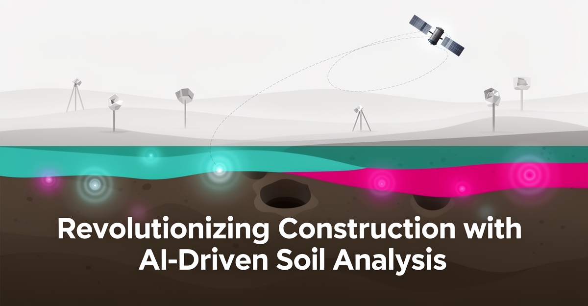
# AI for Site Condition Assessment: Detecting Subsurface Issues Before Surveying Begins
**Quick Answer:** AI can flag subsurface risks before surveying begins by analyzing historical records, satellite imagery, and soil data across an entire site footprint. AIQ Labs builds custom models that direct drilling programs to the highest-value locations, reduce unnecessary borings, and give designers a probabilistic risk map before the first rig arrives. Start the Fit Check.
## Key Facts
- AI can extract meaningful land and terrain signals from satellite imagery, supporting wide-area risk screening before fieldwork begins
- AI-driven soil analysis has been reported to reduce soil testing costs and sample requirements in agricultural and geotechnical applications, though results vary by dataset and method
- Custom models trained on region-specific survey data typically outperform generic tools for site-specific risk like sinkholes and unstable fill
- AI does not replace boreholes or geotechnical expertise — it directs them to where they matter most
## Table of Contents
- [The Hidden Cost of Unknown Subsurface Conditions](#the-hidden-cost-of-unknown-subsurface-conditions)
- [How AI Turns Historical, Satellite, and Soil Data into Predictive Risk Maps](#how-ai-turns-historical-satellite-and-soil-data-into-predictive-risk-maps)
- [From Data to Decision: Integrating AI Insights into Pre-Survey Planning](#from-data-to-decision-integrating-ai-insights-into-pre-survey-planning)
- [Why Custom AI Models Outperform Generic Tools for Site-Specific Risk](#why-custom-ai-models-outperform-generic-tools-for-site-specific-risk)
- [Building a Safer, Faster Pre-Survey Standard with AI](#building-a-safer-faster-pre-survey-standard-with-ai)
## The Hidden Cost of Unknown Subsurface Conditions
Every construction project carries an invisible risk profile buried beneath the surface — voids, unstable fill, forgotten infrastructure — that traditional borings can only sample at discrete points. Those gaps between test holes are where budgets break and schedules collapse.
Traditional subsurface investigation delivers high accuracy at each borehole but leaves **limited coverage** across the broader site, forcing teams to interpolate conditions across hundreds of feet of unknown terrain. The process is time-consuming and costly, often requiring weeks of mobilization, drilling, and lab analysis before a single data point reaches the engineer's desk. By the time results arrive, critical design decisions have already been made on assumptions rather than evidence.
- Sparse borehole grids miss localized anomalies like sinkholes or buried debris
- Reactive timelines delay design validation until after commitments are locked
- High per-point costs discourage the density needed for confidence
- Manual interpretation introduces variability between geotechnical engineers
AI changes this equation by analyzing historical records, satellite imagery, and soil data across the entire project footprint before crews mobilize. Published research on AI analysis of satellite imagery — for example, work on predicting urban characteristics from visual data — illustrates how much signal modern models can extract from imagery alone, and AI-driven soil science has reported meaningful cost reductions in soil testing. These capabilities let project teams identify risk zones — expansive clays, karst features, abandoned mines — across continuous spatial coverage rather than isolated points.
AIQ Labs builds custom models trained on real-world survey data to provide predictive insights that improve project safety and planning. The approach doesn't replace geotechnical expertise; it directs drilling programs to the highest-value locations, reduces unnecessary borings, and gives designers a probabilistic risk map before the first rig arrives on site.
## How AI Turns Historical, Satellite, and Soil Data into Predictive Risk Maps
Traditional site surveys rely on physical sampling and manual data analysis, which is time-consuming and costly. With AI in site condition assessment, it's now possible to analyze vast amounts of data from various sources to predict potential land risks before crews mobilize.
AI models trained on real-world survey data can analyze historical records, satellite imagery, and soil datasets to identify subsurface anomalies. By leveraging these insights, project planners can make more informed decisions and reduce the risk of unexpected site conditions.
One of the key benefits of AI-powered site condition assessment is its ability to reduce soil testing costs. By analyzing data from multiple sources, AI can identify areas that require more detailed testing, reducing the need for unnecessary samples. Reported outcomes in AI-driven soil science — including reduced sample requirements in soil carbon measurement — suggest the same pattern applies to geotechnical screening: fewer, better-targeted samples without losing confidence.
The process of using AI in site condition assessment involves several key steps:
- Collecting and integrating data from various sources, including historical records, satellite imagery, and soil data
- Using AI algorithms
AI Employees
Hire a team member that works 24/7 — for less than a part-time wage.
AI receptionists, SDRs, dispatchers and 99+ roles. Trained on your business, fully managed.
See If You’re a Fit — AI Employees from $700/mo
Not sure where to start? Ask our AI planner
to analyze the data and provide predictive insights
- Interpreting the results and providing recommendations for project planning and safety
AIQ Labs develops specialized AI models for site condition assessment, typically as part of a fixed-price AI Workflow Build that rebuilds the one workflow costing you the most. By training models on real-world survey data, these systems provide predictive insights that improve project safety and planning. As the use of AI in site condition assessment grows, firms are seeing improvements in project efficiency and cost control.
Effective site condition assessment is critical for project safety and success. By leveraging AI-powered predictive insights, project planners can identify potential land risks before they become major issues. With its ability to analyze complex datasets and produce actionable recommendations, AI is becoming a practical standard in site condition assessment.
## From Data to Decision: Integrating AI Insights into Pre-Survey Planning
Pre-survey risk shows up first in data, not in the field. Engineering teams that combine historical records, satellite imagery, and soil data with AI move from reactive investigation to proactive risk mitigation before crews mobilize.
A practical workflow starts with data consolidation. Teams collect and integrate multi-source inputs, then run AI-powered subsurface analysis to surface patterns humans miss. AI-driven soil science research shows how AI can analyze complex soil data at scale, with reported reductions in sample requirements and testing costs in agricultural applications — a pattern that translates well to geotechnical screening.
Satellite imagery adds wide-area context fast. AI models can extract soil moisture, terrain texture, and land-use history from imagery to flag anomalies. Research on AI analysis of satellite imagery — including work predicting urban characteristics from visual data — illustrates the predictive power available for land risk signals.
Interpretation remains human-led. AI outputs risk zones, but geotechnical experts validate findings against local geology, regulatory constraints, and project goals. This expert-in-the-loop step prevents over-reliance on models and ensures recommendations are actionable for planning and safety.
Embedding insights into planning closes the loop. Findings inform borehole placement, survey scope, and contingency budgeting, reducing wasted mobilization and improving safety.
A repeatable pre-survey workflow includes:
- Collect and integrate historical records, satellite imagery, and soil data into a unified dataset
- Run AI-powered subsurface analysis to identify potential land risks like sinkholes or unstable terrain
- Interpret risk zones with geotechnical experts and translate to survey priorities
- Embed findings into project planning, budgeting, and safety protocols before fieldwork begins
AIQ Labs develops specialized AI models trained on real-world survey data to provide predictive insights and improve project safety and planning. The approach aligns with **proactive risk mitigation** rather than post-discovery remediation, and supports **improved accuracy** and **increased efficiency** across site condition assessment.
## Why Custom AI Models Outperform Generic Tools for Site-Specific Risk
Custom AI models trained on domain-specific survey data consistently outperform generic tools when assessing site-specific risks like sinkholes or unstable terrain. Off-the-shelf AI often fails to account for regional soil variations, historical land use patterns, or localized regulatory requirements, leading to false positives or missed hazards. In contrast, purpose-built models trained on real-world geotechnical datasets — such as borehole logs, historical survey records, and localized satellite imagery — achieve higher precision in predicting subsurface anomalies. These gains stem from models that learn from actual field conditions rather than generalized training data.
Custom architectures also address critical data quality gaps common in site assessments. Historical records may be incomplete, satellite imagery can suffer from cloud cover or low resolution, and soil samples are often sparse. Tailored AI systems incorporate uncertainty quantification and multi-source data fusion to compensate for these limitations, using techniques like transfer learning and adaptive weighting to prioritize reliable inputs. By contrast, generic tools treat all inputs uniformly, amplifying errors when data quality varies across a site.
Furthermore, custom AI models integrate with existing survey workflows and comply with industry-specific regulations. They can be designed to output risk assessments in formats compatible with geotechnical reporting standards, trigger alerts only when thresholds exceed local safety codes, and feed directly into project planning tools used by engineering teams. This eliminates vendor lock-in and ensures long-term ownership — core principles of AIQ Labs' development approach. Unlike point solutions that require ongoing subscriptions or force workflow adaptations, production-ready custom systems become embedded assets you own ou
AI Development
Still paying for 10+ subscriptions that don’t talk to each other?
We build custom AI systems you own outright. No vendor lock-in. Full control.
See If You’re a Fit — AI Employees from $700/mo
Not sure where to start? Ask our AI planner
tright, evolving with your organization's needs and delivering sustained value without dependency on external platforms.
## Building a Safer, Faster Pre-Survey Standard with AI
Traditional site assessments often begin with manual, point-based investigations that are slow, costly, and limited in scope. This reactive approach increases field exposure and delays project timelines, putting teams at risk before any ground is broken. AIQ Labs transforms this process by enabling continuous, AI-augmented site intelligence that detects subsurface issues before surveying begins. By analyzing historical records, satellite imagery, and soil data, AI models can identify potential land risks like sinkholes or unstable terrain with greater speed and coverage than sparse sampling alone. This allows firms to reduce field time, improve crew safety, and enter bids with data-backed risk assessments that instill client confidence.
The shift from sporadic sampling to persistent monitoring means teams spend less time in hazardous environments and more time acting on reliable insights. AI-powered analysis also cuts down on unnecessary borings and tests — reported results in AI-driven soil science point to meaningful reductions in sample requirements and testing costs, though exact figures depend on the site and dataset. These efficiencies translate to faster project mobilization and lower operational overhead.
Beyond cost and speed, AI enhances decision-making by surfacing patterns invisible to traditional methods, such as micro-variations in soil moisture or compaction that precede failure. Teams can prioritize high-risk zones for targeted investigation, optimizing resource allocation and minimizing surprise delays. This proactive intelligence doesn't replace expert judgment — it augments it, giving geotechnical engineers and surveyors a clearer picture before they step onto the site.
AIQ Labs supports this transformation as a full lifecycle partner, building, deploying, and managing custom AI models trained on real-world survey data. From data ingestion to insight delivery, we handle the full AI lifecycle so firms can focus on execution, not infrastructure. Our models are built in milestones, owned outright, and kept accurate, secure, and aligned with evolving project needs — turning site assessment from a bottleneck into a strategic advantage. With AI-driven pre-survey intelligence, firms don't just avoid risk — they anticipate it, plan smarter, and win more work with confidence.
## Frequently Asked Questions
**How does AI detect subsurface issues before surveying begins?**
AI analyzes historical records, satellite imagery, and soil data to identify patterns indicating risks like sinkholes or unstable terrain across the entire site, providing predictive insights before fieldwork starts.
**Can AI really reduce soil testing costs?**
Reported results in AI-driven soil science suggest meaningful cost reductions in soil testing, though exact figures vary by dataset and method. The reliable pattern: AI targets sampling where it matters most, cutting unnecessary tests.
**Does using AI mean we can skip traditional boreholes entirely?**
No. AI does not replace geotechnical expertise or boreholes; it directs drilling to high-value locations, reduces unnecessary borings, and provides a probabilistic risk map to inform smarter survey planning.
**How accurate is AI at predicting subsurface conditions from satellite imagery?**
Research on AI analysis of satellite imagery — including work predicting urban characteristics from visual data — shows strong predictive potential, but accuracy for any given site depends on data quality, coverage, and model training.
**What kinds of subsurface risks can AI help identify before surveying?**
AI can help flag risks such as sinkholes, unstable fill, abandoned mines, expansive clays, and karst features by analyzing multi-source data for anomalies that traditional sparse sampling might miss.
**Is AI in site assessment just another tool that adds complexity to our workflow?**
AIQ Labs builds custom AI models that integrate directly into existing workflows, output in geotechnical-reporting formats, and are designed to avoid vendor lock-in — becoming owned assets that evolve with your team's needs.
## Turning Data into Decisive Action Before the First Borehole
By leveraging AI to analyze historical records, satellite imagery, and soil data, construction teams can move from reactive subsurface investigation to proactive risk mitigation — identifying potential hazards like sinkholes or unstable terrain before crews mobilize. This approach improves accuracy, increases efficiency, and reduces unnecessary borings through targeted, data-driven planning. AIQ Labs supports this shift by developing custom AI models trained on real-world survey data, delivering predictive insights that enhance project safety and planning without replacing geotechnical expertise. To explore how AI-powered site condition assessment can strengthen your pre-survey workflow, start with the free two-minute Fit Check — and if it looks like a fit, book a free 30-minute strategy call to map out the workflow worth rebuilding first.
AI Transformation Partner
Make AI your competitive advantage — not just another tool.
Strategy, implementation and ongoing optimization. One partner, end to end.
See If You’re a Fit — AI Employees from $700/mo
Not sure where to start? Ask our AI planner