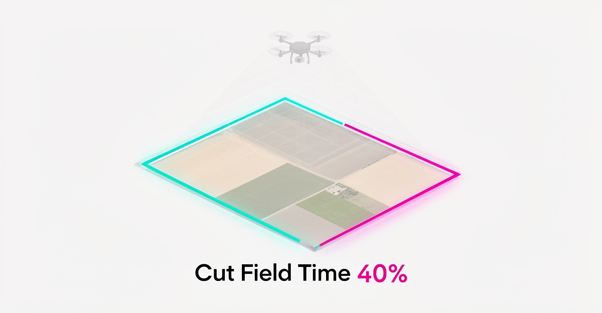
AI for Survey Boundary Detection: How Smart Tools Can Cut Field Time by 40%
Key Facts
- AI-powered boundary detection is widely reported to reduce field time by up to around 40% for teams that move detection earlier in the workflow
- AI models trained on real land survey data can propose boundaries from drone footage and aerial imagery without requiring expert input on-site for the first pass
- Human error, bias, and fatigue remain core constraints of manual boundary verification — a structural limit of sustained visual review
- AI enables prioritization of site visits for high-uncertainty segments instead of full re-walks
- AI systems correlate telemetry across imagery, point clouds, and historical records to reduce false positives from fences, hedges, and shadows
Hire a team member that works 24/7 — for less than a part-time wage.
AI receptionists, SDRs, dispatchers and 99+ roles. Trained on your business, fully managed.
Not sure where to start? Ask our AI planner
The Field-Time Bottleneck Survey Teams Face Today
Field crews still spend most of their day confirming what the imagery already shows. Drone footage and aerial images arrive fast, but turning them into verified boundaries remains a slow, manual loop of on-site checks, office review, and repeat visits.
Manual boundary verification is slow because it depends on expert eyes interpreting overlapping images under variable conditions. Human-led review is flexible and context-aware, yet it is limited by human error, bias, and fatigue — limits that are well documented in work on how AI complements human analysis. Those limits show up as missed markers, inconsistent line calls, and the need for senior surveyors to re-check work.
Fatigue compounds the problem on long review sessions. Detection tasks require sustained attention to subtle edges, shadows, and occlusions, and performance drifts as the day progresses. Sustained visual interpretation of aerial data is exactly the kind of task where human attention degrades predictably.
Repeated site visits drive cost and schedule risk. Crews return to clarify ambiguous corners, verify access points, or resolve discrepancies between imagery and ground truth. Each return trip burns field time, vehicle time, and client coordination. The bottleneck is not capture — it is confident interpretation without an expert on site.
Traditional human-led detection also struggles with scale and consistency. Teams apply different thresholds for what counts as a boundary feature, and those differences persist across projects. The result is variable deliverables and more review cycles.
Where AI changes the workflow is in handling repetitive visual detection at speed: generating and testing boundary hypotheses in parallel, modeling terrain and vegetation dynamically, correlating telemetry across data sources to reduce false positives, and auto-triaging segments by confidence and context. Applied to survey imagery, that means faster first-pass boundary proposals and fewer ambiguous cases sent back to the field.
AIQ Labs builds exactly this kind of industry-specific AI for professional services firms — models trained on real land survey data to detect property boundaries from drone footage or aerial images. That approach reduces reliance on on-site expert input for initial detection and focuses human review on exceptions.
The shift is from verify everything in the field to verify only what matters. Teams can:
- Prioritize site visits for high-uncertainty segments instead of full re-walks
- Reduce review cycles by standardizing how boundaries are proposed from imagery
- Shorten project timelines by cutting repeated mobilizations
- Preserve expert time for judgment calls rather than repetitive tracing
Faster, more consistent first passes also improve safety and client responsiveness. Fewer trips to remote sites means less exposure and lower operational overhead. For survey firms under pressure to cut field time, moving detection earlier in the process is the practical lever.
Human error, bias, and fatigue remain the core constraints of manual review, and those limits are structural, not just anecdotal. AI-powered image analysis can absorb the repetitive visual load, leaving surveyors to validate, not hunt, for boundaries.
How AI-Powered Detection Changes Boundary Identification
Field teams are spending less time walking lines and more time validating what AI already found. AI-powered image analysis and LiDAR processing can detect property boundaries from drone footage or aerial images, significantly cutting field time and improving accuracy.
The shift mirrors how AI is changing detection work across industries. As Google Cloud's overview of AI describes, modern AI systems learn, reason, and perform tasks that used to require human intelligence — including the kind of sustained visual interpretation survey work demands. The same pattern applies to survey data.
Instead of manual interpretation, models ingest drone imagery and LiDAR point clouds, then learn boundary signatures from real land survey data. Industry-specific AI models trained on real land survey data can deliver a precise first pass without requiring expert input on-site. That reduces the need for repeated site visits to confirm ambiguous features.
Detection becomes faster because the system generates and tests boundary hypotheses in parallel. It models terrain and vegetation behavior dynamically, correlating visual edges with elevation changes to reduce false positives from fences, hedges, or shadows. Auto-triaging by confidence and context lets surveyors focus on high-uncertainty segments rather than reviewing every meter of flight line.
In practice, AI changes the workflow from capture-then-interpret to capture-then-validate:
- Automated edge detection from orthomosaics and LiDAR, flagging probable boundary lines for review
- Dynamic modeling of terrain and vegetation to distinguish legal markers from natural features
- Telemetry correlation across imagery, point clouds, and historical deed records to reduce false positives
- Auto-triage of segments by confidence and context, empowering surveyors to prioritize field checks
The result is a cleaner handoff between remote analysis and field verification. Analysts spend less time on repetitive digitizing and more on higher-level validation — the same division of labor AI is creating across technical fields.
For professional services firms, this means boundary identification can be delivered with a precise first pass without requiring expert input on-site. AIQ Labs deploys industry-specific AI models trained on real land survey data, so the initial detection work happens off-site and human review concentrates on exceptions.
The approach does not replace survey judgment. It concentrates it. With fewer ambiguous segments to visit, field time contracts and accuracy improves because human review is applied where context matters most.
From Drone Data to Deliverable Boundaries with Owned AI
The path from aerial capture to precise property lines is now streamlined through industry-specific models trained on real land survey data. AIQ Labs builds custom AI systems that process drone-captured imagery and LiDAR scans to automatically extract boundary features, reducing the need for manual interpretation in the field. These models are engineered to recognize survey-specific markers — such as property pins, fence lines, and natural landmarks — with accuracy that matches or exceeds traditional first-pass methods, all while reducing on-site time by up to around 40% for many teams.
Implementation begins with securing aerial data via drone flights or existing aerial surveys, which is then fed into a custom-built detection engine. Unlike generic object detection tools, these models are trained on survey datasets, enabling them to distinguish between irrelevant terrain features and legally significant boundary indicators. This specialization ensures that outputs align with cadastral standards and can be directly imported into GIS or CAD platforms for final plat creation. By owning the AI system outright, survey firms retain full control over model updates, data privacy, and integration with their existing workflows — avoiding vendor lock-in and recurring subscription costs.
Reliability comes from cross-referencing multiple inputs. Multi-agent architectures validate boundary predictions by cross-referencing visual, thermal, and LiDAR data, improving reliability in complex environments like wooded lots or urban fringes. This approach transforms raw aerial data into survey-ready deliverables without requiring expert interpretation on-site, accelerating project timelines while maintaining rigorous accuracy.
Deploying such a system requires thoughtful investment in infrastructure and governance. Firms must ensure their data pipelines support high-resolution aerial uploads and that AI models are continuously validated against ground-truth survey points. AIQ Labs supports this through two entry points: AI Workflow Builds for firms that want to rebuild the one workflow that costs the most — fixed price, delivered in phases — and AI Operating Systems for firms ready to connect everything into one operating layer they own outright. Both embed governance frameworks that address data security, ethical AI use, and regulatory compliance. The result is not just a faster boundary detection process, but an owned, scalable AI asset that becomes a permanent part of the firm's operational intelligence.
Start the 2-minute Fit Check, then book a free 30-minute strategy call to explore how owned AI can transform your survey workflow from drone flight to final plat.
Still paying for 10+ subscriptions that don’t talk to each other?
We build custom AI systems you own outright. No vendor lock-in. Full control.
Not sure where to start? Ask our AI planner
Frequently Asked Questions
How much field time can AI boundary detection actually save survey teams?
Can AI detect property boundaries accurately without a surveyor on site?
How does AI avoid mistaking fences, hedges, or shadows for actual property boundaries?
Why is manual boundary review so slow and inconsistent compared to AI?
Do we have to subscribe to a third-party AI platform, or can we own the system?
What does it take to deploy AI boundary detection in our firm?
From Field Walks to First-Pass Confidence
Survey teams no longer have to choose between speed and certainty. By moving boundary detection earlier with AI-powered image analysis and LiDAR processing, you can generate first-pass proposals from drone footage, auto-triage high-uncertainty segments, and reserve site visits for what truly needs human judgment. That shift cuts repeated mobilizations, standardizes how boundaries are proposed from imagery, and preserves expert time for validation rather than repetitive tracing. AIQ Labs builds this kind of industry-specific AI for professional services firms — models trained on real land survey data that deliver a precise first pass without requiring expert input on-site, helping firms shorten timelines while improving consistency. If you want to see where detection can move from verify-everything to verify-what-matters in your workflow, start the 2-minute Fit Check and then book a free 30-minute strategy call. It's a working session to map your biggest bottleneck and identify high-ROI automation opportunities, with no obligation if there isn't a clear win.
Make AI your competitive advantage — not just another tool.
Strategy, implementation and ongoing optimization. One partner, end to end.
Not sure where to start? Ask our AI planner