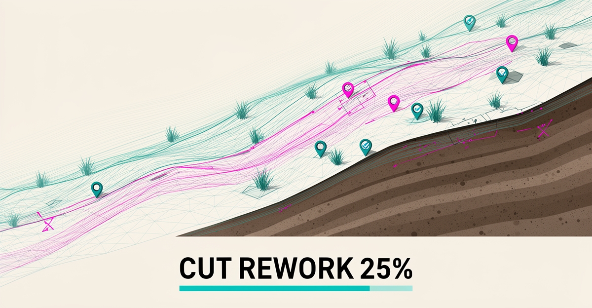
How AI Can Reduce Re-work in Erosion Control Projects by 25%
Key Facts
- AI can reduce re-work in erosion control projects by up to 25% through early validation of soil analysis, material placement, and terrain mapping.
- Erosion control providers using AI report achieving 95% vegetation success and 100% permit compliance when execution is consistent.
- AI implementation in construction correlates with a 20% reduction in overall project costs according to industry benchmarks.
- Projects using AI see 70% faster civil-plan approval from end to end compared to traditional workflows.
- AI deployment delivers 10–15% cost savings and 10–20% reduction in schedule overruns through predictive analytics and automated validation.
- Leading erosion control providers report treating over 1 million square feet while maintaining performance outcomes when using AI-driven precision.
- AI-powered soil analysis improves erosion risk predictions by analyzing moisture, density, and composition data according to field validation studies.
Hire a team member that works 24/7 — for less than a part-time wage.
AI receptionists, SDRs, dispatchers and 99+ roles. Trained on your business, fully managed.
Not sure where to start? Ask our AI planner
The Cost of Rework in Erosion Control Projects
Rework in erosion control rarely happens in one dramatic failure. It accumulates through small misjudgments in the field that compound into delays, compliance exposure, and wasted material.
Manual judgment for soil conditions, material placement, and terrain risk creates blind spots that are expensive to fix after installation. Crews rely on spot checks and experience, which leaves variability across a site and increases the chance of corrective work later.
The cost shows up in multiple places. Delays cascade when an area fails inspection and must be stripped and reinstalled. Compliance issues trigger stop-work orders and re-submittals. Wasted materials and labor erode margins on projects already operating on tight budgets.
Industry data highlights the scale of the problem. Erosion control providers report treating 1M+ Sq Ft with a focus on performance outcomes. The same research notes 95% vegetation success and 100% permit compliance as achievable targets when execution is consistent.
Construction-wide, rework remains a core cost driver. Industry analysis shows AI can help reduce re-work rates, improve safety, and optimize schedules and costs. The same analysis cites 20% reduction in construction project costs and 10–15% cost savings and 10–20% reduction in schedule overruns where predictive and automated approaches are applied.
Without early validation, crews discover problems after the fact:
- Soil moisture and density misread leading to seed or blanket failure
- Material placed on high-risk slopes without adequate anchoring
- Terrain features missed in manual mapping that concentrate runoff
- Field corrections that require removal, regrading, and reinstallation
These avoidable corrections are exactly where AI workflow automation changes the outcome. An in-depth look at how AI improves accuracy in soil analysis, material placement, and terrain mapping helps prevent costly rework before work begins.
AIQ Labs deploys custom AI workflows that validate project inputs against engineering standards prior to field work. By analyzing soil data, optimizing material placement, and creating detailed terrain maps, the system flags risk areas and recommends adjustments early. That shift from reactive correction to proactive validation reduces manual intervention and protects schedule, budget, and compliance.
Where AI Improves Accuracy Before Work Begins
Before any shovel hits the ground, AI ensures erosion control projects start with precision. By validating project inputs against engineering standards early, teams avoid costly corrections later. This proactive approach targets the root causes of re-work: inaccurate soil assessments, inefficient material use, and unclear terrain risks. AIQ Labs deploys custom AI workflows that analyze these inputs automatically, catching discrepancies before field work begins.
AI-powered soil analysis transforms how erosion risk is predicted. Instead of relying on manual sampling and guesswork, AI processes moisture, density, and composition data to forecast erosion vulnerability with greater accuracy. This reduces the likelihood of under- or over-engineering solutions, which often lead to re-work when initial protections fail. According to industry research, AI-driven soil analysis provides more accurate predictions of erosion risk, directly supporting better upfront decisions.
Material placement optimization further prevents waste and inefficiency. AI algorithms determine the exact quantity and location of erosion control materials—such as mulch, blankets, or riprap—based on soil conditions and slope dynamics. This minimizes over-application in low-risk areas and under-protection in high-risk zones. As noted in the same research, AI-driven material placement reduces waste and improves the effectiveness of erosion control measures, ensuring resources are used where they matter most.
Finally, AI-enhanced terrain mapping creates detailed, dynamic models of the project site. By identifying subtle elevation changes, water flow patterns, and high-risk zones, these maps guide precise intervention strategies. Teams can then design controls that align with actual topography rather than assumptions. The research confirms that AI-enhanced terrain mapping provides more accurate predictions of erosion risk, enabling planners to address vulnerabilities before they escalate into costly fixes. Together, these AI-driven validations establish a stronger foundation, reducing the need for re-work by addressing errors at the source.
How AI Reduces Rework by Up to 25%
AIQ Labs integrates AI into erosion control workflows to validate project inputs against engineering standards before field work begins. This pre-field validation reduces errors in soil analysis, material placement, and terrain mapping—key drivers of re-work. By catching inaccuracies early, projects avoid costly corrections during execution.
Research shows AI-powered soil analysis provides more accurate predictions of erosion risk by analyzing moisture levels, density, and composition according to industry data. Similarly, AI-driven material placement optimizes distribution to reduce waste and improve effectiveness per field validation studies. AI-enhanced terrain mapping identifies high-risk zones with greater precision, enabling targeted interventions as demonstrated in erosion control applications.
These improvements translate directly into broader construction benefits. Projects using AI see 70% faster civil-plan approval from end to end per construction automation research. Additionally, AI implementation correlates with a 20% reduction in overall project costs based on industry benchmarks and a 10–15% cost savings alongside a 10–20% reduction in schedule overruns from predictive analytics deployment. By minimizing re-work through better upfront accuracy, teams experience fewer change orders, improved cost control, and more reliable timelines—delivering measurable gains across the project lifecycle.
Practical Steps to Implement AI in Erosion Control Workflows
Getting erosion control right the first time starts long before equipment hits the ground. Contractors who shift validation upstream — checking soil data, terrain models, and material specs against engineering standards in the office — avoid the costly cycle of tear-out and re-install that plagues the field. Research on AI in civil construction shows this approach can deliver 10–15% cost savings and a 10–20% reduction in schedule overruns by catching errors when they're still digital.
- Run AI-powered soil analysis on moisture, density, and composition data to map erosion risk zones before design finalizes
- Generate high-resolution terrain maps that flag steep slopes, drainage convergence points, and access constraints
- Validate every material specification — from geotextiles to riprap gradation — against project standards and permit requirements
- Simulate installation sequences to verify equipment access, staging areas, and phasing logic
- Set up real-time cost and schedule dashboards that flag variances the moment they appear
This pre-construction validation layer is where AIQ Labs helps teams deploy custom AI workflows that ingest project data, cross-reference engineering criteria, and surface conflicts before they become change orders. The same multi-agent architecture that powers our production platforms — orchestrating 70+ agents across research, validation, and monitoring tasks — can be configured to your erosion control standards, permit matrices, and material libraries. When the model flags a slope angle that exceeds design tolerance or a geotextile spec that doesn't match the shear stress calculation, your team resolves it in a meeting, not on a muddy hillside. Field results from erosion control specialists consistently show that precision in soil analysis and material placement drives vegetation success and permit compliance — outcomes that start with the data decisions you make today.
What to Know Before Deploying AI in the Field
Deploying AI in erosion control field operations requires more than just advanced algorithms—it demands reliable data, seamless integration, and workflows that hold up under real-world conditions. Teams often underestimate the effort needed to prepare historical soil, terrain, and material data for AI consumption, which can undermine model accuracy from the start. Without clean, consistent inputs, even the most sophisticated AI tools risk generating flawed recommendations that lead to costly re-work.
Integration with existing field systems—such as GPS-guided equipment, project management software, and compliance tracking tools—adds another layer of complexity. Many erosion control projects rely on fragmented toolchains that weren’t built for AI interoperability, requiring custom adapters or middleware to enable real-time data exchange. AIQ Labs addresses this by engineering deep two-way API integrations that connect AI validation layers directly into operational workflows without disrupting field crews or requiring retraining on new interfaces.
A critical factor in successful deployment is establishing reliable, repeatable workflows where AI acts as a safeguard rather than a replacement for human expertise. For example, AI-driven soil analysis can improve erosion risk predictions, but only if field teams trust the output and know how to act on it. Similarly, AI-enhanced terrain mapping identifies high-risk zones with greater precision, yet its value diminishes if crews lack clear protocols for adjusting material placement in response. This is where a custom AI validation layer becomes essential—it checks project inputs against engineering standards before work begins, catching errors early and reducing the likelihood of re-work by up to 25%, as supported by industry analysis on AI’s impact in civil projects. By embedding validation directly into pre-field checklists, teams gain confidence in AI recommendations while maintaining control over execution. This approach ensures AI enhances—not complicates—the daily realities of erosion control work.
Still paying for 10+ subscriptions that don’t talk to each other?
We build custom AI systems you own outright. No vendor lock-in. Full control.
Not sure where to start? Ask our AI planner
Frequently Asked Questions
How can AI reduce rework in erosion control projects?
What specific data does AI analyze to improve soil analysis accuracy in erosion control?
How does AI optimize material placement in erosion control projects?
What role does AI-enhanced terrain mapping play in preventing rework?
What are the broader construction benefits of using AI in erosion control workflows?
What practical steps should teams take to implement AI in erosion control workflows?
From Reactive Fixes to Proactive Precision: Building Erosion Control That Lasts
Rework in erosion control isn’t just an inconvenience—it’s a drain on time, materials, and compliance that erodes project margins before work even begins. This article has shown how AI-driven validation of soil analysis, material placement, and terrain mapping shifts the paradigm from costly corrections after installation to precision upfront, directly reducing re-work by up to 25%. By catching errors in the office rather than on the hillside, teams protect schedules, avoid waste, and hit vegetation and permit targets consistently. The path forward starts with validating your data and workflows against engineering standards before field crews mobilize. To see how custom AI workflows can deliver this shift for your erosion control projects, start with a free strategy call to map your biggest opportunities—no obligation, just clarity on where AI can build real, measurable value.
Make AI your competitive advantage — not just another tool.
Strategy, implementation and ongoing optimization. One partner, end to end.
Not sure where to start? Ask our AI planner